Table of Contents
ToggleWhat Does a Funnel Cloud Look Like?
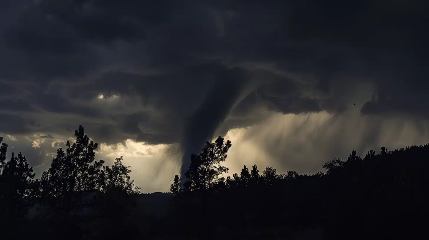
A funnel cloud is a rotating column of air that is not in contact with the ground. It is typically associated with severe thunderstorms and tornadoes, although not all funnel clouds develop into tornadoes. Here’s what a funnel cloud looks like:
- Shape: Funnel clouds typically have a tapered, cone-like shape, with a wide opening at the top and a narrower, more pointed end extending downward. However, their exact shape can vary depending on atmospheric conditions and the stage of development.
- Color: Funnel clouds are often translucent or opaque white or gray in color, although they can sometimes appear darker if they contain debris or if they are backlit by storm clouds.
- Rotation: One of the key characteristics of a funnel cloud is its rotation. As the column of air rotates, it may appear to twist or spin, especially when viewed against a contrasting background such as a clear sky or dark storm clouds.
- Location: Funnel clouds typically form beneath the base of a thunderstorm cloud, known as the cumulonimbus cloud. They may extend downward from the cloud base but do not reach the ground in their initial stage. However, if a funnel cloud makes contact with the ground, it is then classified as a tornado.
- Size: Funnel clouds can vary in size, ranging from relatively small and narrow to large and broad. However, they are generally narrower at the bottom and wider at the top, giving them a funnel-like appearance.
It’s important to note that while funnel clouds may appear ominous, not all of them develop into tornadoes. Many funnel clouds dissipate harmlessly without ever making contact with the ground. However, they serve as visual indicators of the potential for severe weather and should be taken seriously, especially in areas prone to tornadoes. If you observe a funnel cloud, it’s important to seek shelter and monitor local weather reports for updates on potential tornado activity.
What Causes Tornadoes?
Well… tornado formation primarily revolves around the interaction of certain atmospheric conditions, particularly in severe thunderstorms. While tornadoes are still complex phenomena with some aspects not entirely understood, here’s a summary of the latest thinking on their causes:
- Thunderstorms: Tornadoes typically develop within severe thunderstorms, particularly supercells. Supercells are large, rotating thunderstorms that can produce severe weather including tornadoes.
- Atmospheric Instability: Tornadoes often form when there is a combination of warm, moist air near the surface and cooler, drier air aloft. This creates instability in the atmosphere, which can lead to the development of thunderstorms and tornadoes.
- Wind Shear: Wind shear, the change in wind speed and direction with height, is crucial for tornado formation. Specifically, a significant change in wind direction and speed with height (known as directional and speed shear) can contribute to the rotation of the storm updraft, which is a necessary ingredient for tornado genesis.
- Dry Line: In certain regions, such as the central United States, a dry line—a boundary separating moist air to the east and dry air to the west—can serve as a focus for severe thunderstorm development and tornado formation.
- Topography: While tornadoes can occur in many regions, they are most common in flat, open areas where the ingredients for severe thunderstorms are more likely to come together. However, tornadoes can still occur in other geographic settings.
- Interaction with Boundaries: Tornadoes can sometimes form or intensify when a thunderstorm interacts with a boundary such as a cold front, warm front, or outflow boundary.
- Mesocyclones: Within supercell thunderstorms, mesocyclones are rotating updrafts that often precede tornado formation. These rotating updrafts can sometimes extend several miles into the atmosphere and are closely monitored by meteorologists as potential indicators of tornado development.
- Research and Modeling: Advances in atmospheric research, including high-resolution computer modeling and improved observational techniques, continue to refine our understanding of tornado formation processes. However, tornadoes are still complex and challenging to predict with certainty, particularly on a small scale.
Overall, while our understanding of tornado formation has improved significantly over the years, there is still ongoing research to better comprehend the intricacies of these destructive weather phenomena.
